|
|
|
|
Self-Guided Walk Downloads
|
|||||||||||||||||||||||||||||||||||||||||||||||||||||||||||||||||||||||||||
|
|||||||||||||||||||||||||||||||||||||||||||||||||||||||||||||||||||||||||||
|
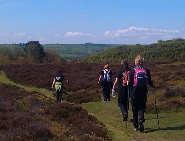
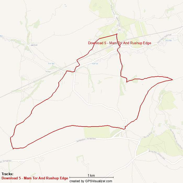
In addition to our range of guide-led walks, Derbyshire Heritage Walks also offers a range of self-guided walks that you can download and follow at your leisure. Each download comes as a GPX file, which can be used in most mobile phone apps and dedicated GPS receivers, plus a set of written route directions in PDF format. Not only do these give you directions to follow, they also include some interesting historical or cultural information about the route of the walk, plus useful hints and tips such as where to park, where you can find toilets, and where you can go for a refreshing pint and filling meal at the end of the walk.
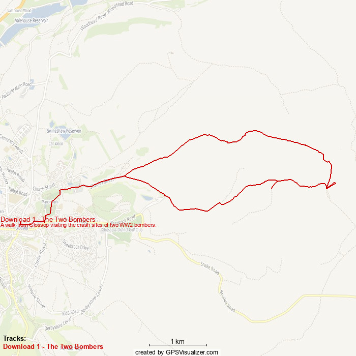
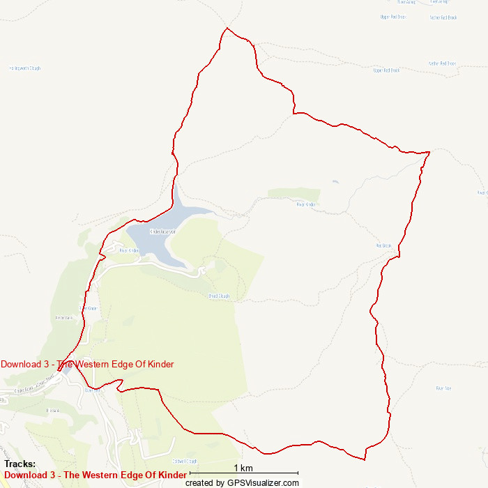
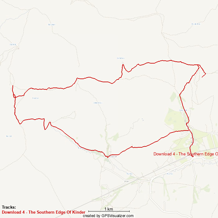
We have a small range of free walks, which you can download directly from the website here, plus a much larger range of walks available here at the very reasonable price of just £2.50 per walk. To purchase any of these walks, simply pick the ones you want from the list below, click on the link to go to our mobile-friendly shop (which opens in a new window), add them to your shopping cart, complete checkout via PayPal, and they will be e-mailed to you at your registered PayPal address, usually within 48 hours.
|
|||||||||||||||||||||||||||||||||||||||||||||||||||||||||||||||||||||||||||
|
|
|||||||||||||||||||||||||||||||||||||||||||||||||||||||||||||||||||||||||||

|
|
|

|
Cookie Policy: Like almost every other website on the Internet today, this site does use cookies. The only thing they are used for is as part of Google Analytics, so that we can tell how successful this site is at attracting visitors and which pages they look at most. If you don't want cookies on your system, then please don't view this site any further, as we can't change the underlying technology used by Google Analytics. We also suggest that you clear your cookies after leaving this site.